Premise nearby Jardín de Infantes El Castillito
Coronavirus disease (COVID-19) Situation
confirmed cases
1041111
deaths
7664
Uruguay
Premise nearby Jardín de Infantes El Castillito
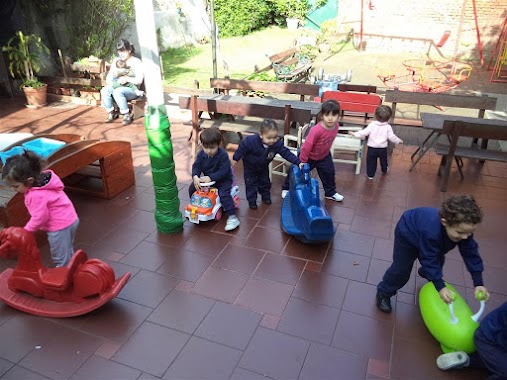
Jardín de Infantes El Castillito
2453, Avenida Doctor Luis Alberto de Herrera, 11600, Montevideo, UY Uruguay
contacts phone
:
+598
Latitude:
-34.883854
, Longitude:
-56.1516104
larger map & directions
read more
nearest Premise
80 m
San Francisco
Montevideo
Premise
read more
142 m
Plaza Damaso Antonio Larrañaga
Montevideo
Premise
read more
143 m
Monumento Damaso Antonio Larrañaga
Montevideo
Premise
read more
720 m
Karen - Acho - Gonza - Ale
Montevideo
Premise
read more
735 m
Edificio Parque Esmeralda
Montevideo
Premise
read more
758 m
Edificio Thays
Montevideo
Premise
read more
759 m
Canchas de Tenis Parque Central
Montevideo
Premise
read more
868 m
Av. 8 de Octubre 2738
Montevideo
Premise
read more
872 m
Edificio Egeo
Montevideo
Premise
read more
896 m
Il Gattamelata
Montevideo
Premise
read more
913 m
Edificio Torre Modelo - Campiglia Construcciones
Montevideo
Premise
read more
956 m
Baby Futbol - Montevideo Belgrano
Montevideo
Premise
read more
979 m
Monumento a los Campeones Mundiales
Montevideo
Premise
read more
1.028 km
Monumento La Carreta
Montevideo
Premise
read more
1.028 km
La Carreta
Montevideo
Premise
read more
1.039 km
Baby Futbol - Estudiantes de la Union
Montevideo
Premise
read more
1.141 km
Santiago Gadea 3543
Montevideo
Premise
read more
1.228 km
Monumento a la Maestra
Montevideo
Premise
read more
1.364 km
Baby Futbol - Poco Sitio
Montevideo
Premise
read more
1.552 km
Grounds
Montevideo
Premise
read more
1.757 km
Edificio Lord Ponsonby
Montevideo
Premise
read more
1.761 km
Monumento a Juan Pablo II
Montevideo
Premise
read more
1.762 km
A Juan Pablo II
Montevideo
Premise
read more
2.054 km
Estacionamiento
Montevideo
Premise
read more
2.598 km
Avenida Doctor Luis A. De Herrera
Montevideo
Premise
read more
📑
all categories
Accounting
Administrative area level 1
Administrative area level 2
Airport
Amusement park
Aquarium
Art gallery
Atm
Bakery
Bank
Bar
Beauty salon
Bicycle store
Book store
Bowling alley
Bus station
Cafe
Campground
Car dealer
Car rental
Car repair
Car wash
Casino
Cemetery
Church
City hall
Clothing store
Colloquial area
Convenience store
Courthouse
Dentist
Department store
Doctor
Electrician
Electronics store
Embassy
Finance
Fire station
Florist
Food
Funeral home
Furniture store
Gas station
General contractor
Grocery or supermarket
Gym
Hair care
Hardware store
Health
Hindu Temple
Home goods store
Hospital
Insurance agency
Intersection
Jewelry store
Laundry
Lawyer
Library
Liquor store
Local government office
Locality
Locksmith
Lodging
Meal delivery
Meal takeaway
Mosque
Movie rental
Movie theater
Moving company
Museum
Natural feature
Neighborhood
Night club
Painter
Park
Parking
Pet store
Pharmacy
Physiotherapist
Place of worship
Plumber
Point of interest
Police
Political
Post office
Premise
Real estate agency
Restaurant
Roofing contractor
Route
Rv park, camping
School
Shoe store
Shopping mall
Spa
Stadium
Storage
Store
Subpremise
Supermarket
Synagogue
Taxi stand
Train station
Transit station
Travel agency
University
Veterinary care
Zoo
administrative area level 4
sublocality level 1
↑