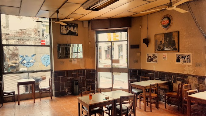
Bar nearby Dakar Pub
Uruguay
Bar nearby Dakar Pub
Dakar Pub
Cdad., Ciudad del Plata Uruguay
contacts phone
:
+598
Latitude:
-34.7508927
, Longitude:
-56.4562146
read more
nearest Bar
28 m
El Nuevo Rancho
Rio de la Plata, Ciudad del Plata
Bar
read more
273 m
#holaverano BAR
Cdad., Ciudad del Plata
Bar
read more
618 m
El Cañaveral Bar
Herrera y Reissig, Ciudad del Plata
Bar
read more
1.068 km
Bar Yessi
Playa Pascual, Ciudad del Plata
Bar
read more
2.519 km
El Gaucho Negro
Ciudad del Plata
Bar
read more
4.201 km
Pizzeria Y Cantina Cancha
Ciudad del Plata
Bar
read more
8.257 km
cantina la lata
Cdad., Ciudad del Plata
Bar
read more
8.544 km
San Fernando Ciudad Del Plata
km 26, Ruta 1
Bar
read more
8.794 km
Ex Calu Tu Lugar De Encuentro
Avenida Del Malecon, Ciudad del Plata
Bar
read more
12.165 km
Cerveza Chela Brandon
ruta 1 km 44, Libertad
Bar
read more
16.517 km
Frigorífico LP
48, Las Piedras
Bar
read more
17.028 km
Club Social Pablan
Pajas Blancas
Bar
read more
19.65 km
Bar el Peaje
801, José Enrique Rodó
Bar
read more
19.732 km
Taxco Pool
25 de Agosto 969, Libertad
Bar
read more
19.752 km
The King Pub
25 de Agosto 977, Libertad
Bar
read more
20.767 km
EL RANCHO Open Bar
Continuación, Bgdier. General Manuel Oribe, Ciudad de Libertad
Bar
read more
21.623 km
El VARON DEL TANGO
Avenida Artigas 721, Las Piedras
Bar
read more
22.803 km
Bar "El dinámico" - el Bar del Ciego
y, República Argentina
Bar
read more
24.402 km
Bar Dale Gaucho
Emilio Romero 952, Montevideo
Bar
read more
25.179 km
Paco Milon
Montevideo
Bar
read more
28.291 km
Edificio Vignale - Café Los Beatles
Calle Perez Castellano 1501, Montevideo
Bar
read more
28.308 km
Bar La Nueva Bolsa
y, Piedras, Montevideo
Bar
read more
28.856 km
Limbo Bar
Rincón 602, Montevideo
Bar
read more
28.973 km
Bartolome Resto Bar
Bartolomé Mitre 1332, Montevideo
Bar
read more
30.152 km
Almacen 451
Ejido 1237, Montevideo
Bar
read more
📑
all categories
Accounting
Administrative area level 1
Administrative area level 2
Airport
Amusement park
Aquarium
Art gallery
Atm
Bakery
Bank
Bar
Beauty salon
Bicycle store
Book store
Bowling alley
Bus station
Cafe
Campground
Car dealer
Car rental
Car repair
Car wash
Casino
Cemetery
Church
City hall
Clothing store
Colloquial area
Convenience store
Courthouse
Dentist
Department store
Doctor
Electrician
Electronics store
Embassy
Finance
Fire station
Florist
Food
Funeral home
Furniture store
Gas station
General contractor
Grocery or supermarket
Gym
Hair care
Hardware store
Health
Hindu Temple
Home goods store
Hospital
Insurance agency
Intersection
Jewelry store
Laundry
Lawyer
Library
Liquor store
Local government office
Locality
Locksmith
Lodging
Meal delivery
Meal takeaway
Mosque
Movie rental
Movie theater
Moving company
Museum
Natural feature
Neighborhood
Night club
Painter
Park
Parking
Pet store
Pharmacy
Physiotherapist
Place of worship
Plumber
Point of interest
Police
Political
Post office
Premise
Real estate agency
Restaurant
Roofing contractor
Route
Rv park, camping
School
Shoe store
Shopping mall
Spa
Stadium
Storage
Store
Subpremise
Supermarket
Synagogue
Taxi stand
Train station
Transit station
Travel agency
University
Veterinary care
Zoo
administrative area level 4
sublocality level 1
↑