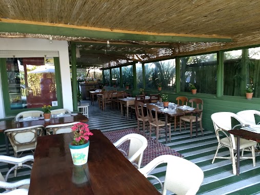
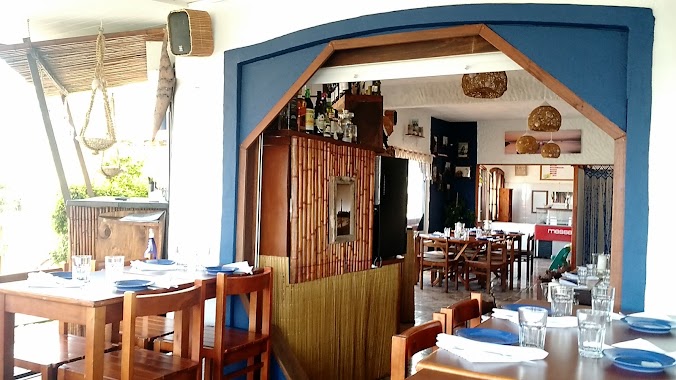
Restaurant nearby OPB Jose Ignacio
Uruguay
Restaurant nearby OPB Jose Ignacio
OPB Jose Ignacio
José Ignacio Uruguay
contacts phone
:
+598
Latitude:
-34.8423852
, Longitude:
-54.6382371
read more
nearest Restaurant
37 m
Crepas
José Ignacio
Restaurant
read more
41 m
La Hamburguesería
José Ignacio
Restaurant
read more
56 m
Paru Punta del Este
Calle de Los Cisnes, José Ignacio
Restaurant
read more
79 m
Café Mutate
Uruguai, Calle de Los Cisnes
Restaurant
read more
105 m
La Rita Al Mar
Calle de Los Cisnes, José Ignacio
Restaurant
read more
110 m
Rincon Verde
Calle de Los Cisnes, José Ignacio
Restaurant
read more
258 m
Rex Chivitos Jose Ignacio
Calle Las Garzas, José Ignacio
Restaurant
read more
271 m
Almacen El Palmar
Calle Las Garzas, José Ignacio
Restaurant
read more
296 m
Aguas Blancas
Calle Las Garzas y, Calle Las Golondrinas, José Ignacio
Restaurant
read more
338 m
Popei
esq. Los Tordos, Calle Las Garzas, José Ignacio
Restaurant
read more
400 m
PEPE NACHO Churros
Restaurant
read more
405 m
Mostrador Santa Teresita
Calle Las Garzas, José Ignacio
Restaurant
read more
408 m
Restaurante la huella
Calle de Los Cisnes, José Ignacio
Restaurant
read more
409 m
Parador La Huella
Calle de Los Cisnes, José Ignacio
Restaurant
read more
452 m
Amex Beach Club
José Ignacio
Restaurant
read more
477 m
Parador JOSE IGNACIO BRAVA
José Ignacio
Restaurant
read more
508 m
La Farola Resto y Café
José Ignacio
Restaurant
read more
517 m
Francisca Campamento del Fuego
José Ignacio 20402
Restaurant
read more
562 m
Il Faro
José Ignacio
Restaurant
read more
963 m
Del Bosque
América Latina, José Ignacio
Restaurant
read more
972 m
La Susana Vik
José Ignacio
Restaurant
read more
1.11 km
Casa Lobos
20402, José Ignacio
Restaurant
read more
13.75 km
Preggo Resthogar
Balneario Buenos Aires
Restaurant
read more
14.646 km
El Franchute
calle 37 y campo, Balneario Buenos Aires
Restaurant
read more
15.963 km
Pizzería La Magusma
Calle 49, Balneario Buenos Aires
Restaurant
read more
📑
all categories
Accounting
Administrative area level 1
Administrative area level 2
Airport
Amusement park
Aquarium
Art gallery
Atm
Bakery
Bank
Bar
Beauty salon
Bicycle store
Book store
Bowling alley
Bus station
Cafe
Campground
Car dealer
Car rental
Car repair
Car wash
Casino
Cemetery
Church
City hall
Clothing store
Colloquial area
Convenience store
Courthouse
Dentist
Department store
Doctor
Electrician
Electronics store
Embassy
Finance
Fire station
Florist
Food
Funeral home
Furniture store
Gas station
General contractor
Grocery or supermarket
Gym
Hair care
Hardware store
Health
Hindu Temple
Home goods store
Hospital
Insurance agency
Intersection
Jewelry store
Laundry
Lawyer
Library
Liquor store
Local government office
Locality
Locksmith
Lodging
Meal delivery
Meal takeaway
Mosque
Movie rental
Movie theater
Moving company
Museum
Natural feature
Neighborhood
Night club
Painter
Park
Parking
Pet store
Pharmacy
Physiotherapist
Place of worship
Plumber
Point of interest
Police
Political
Post office
Premise
Real estate agency
Restaurant
Roofing contractor
Route
Rv park, camping
School
Shoe store
Shopping mall
Spa
Stadium
Storage
Store
Subpremise
Supermarket
Synagogue
Taxi stand
Train station
Transit station
Travel agency
University
Veterinary care
Zoo
administrative area level 4
sublocality level 1
↑