Restaurant nearby Parrillada San Cono
Uruguay
Restaurant nearby Parrillada San Cono
Parrillada San Cono
Esteban Vieira, 37000, Melo, UY Uruguay
contacts phone
:
+598
Latitude:
-32.3663346
, Longitude:
-54.163238
larger map & directions
read more
nearest Restaurant
251 m
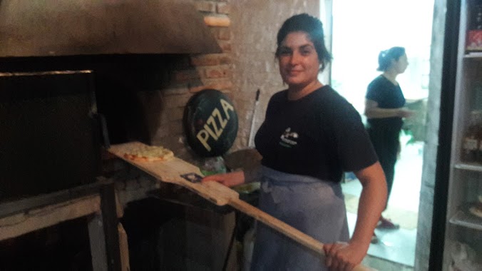
Pizzeria El Hornero
José Enrique Rodó 1035, Melo
Restaurant
read more
276 m
Cuatro 40 Music Bar - 440.uy
Esteban Vieira, Melo
Restaurant
read more
287 m
Cuatro40 Restopub
Melo
Restaurant
read more
328 m
Chiveteria Nueva
Miguel Barreiro, Melo
Restaurant
read more
388 m
Ricco Chiviteria y Pizzeria
Doctor Juan Ferreira, Melo
Restaurant
read more
442 m
Spiedo Pollo Loco
herrera y mata
Restaurant
read more
452 m
ARAXA FOOD TRUCK
Dr Juan Ferreira, Melo
Restaurant
read more
467 m
AXARA Food Truch. Restorant
Doctor Juan Ferreira, Melo
Restaurant
read more
485 m
Parrillada Criolla
Melo
Restaurant
read more
584 m
Carrito El Buen Sabor
Calle Colón, Melo
Restaurant
read more
606 m
Avenida Italia Y Reus
Reus, Melo
Restaurant
read more
616 m
Chivitos El Winy
Calle Florencio Sanchez 672, Melo
Restaurant
read more
703 m
La Rural
Gral. Justino Munz, Melo
Restaurant
read more
714 m
Carrito de Ricardo
Calle Colón, Melo
Restaurant
read more
750 m
L'Oca Bianca
Ruta 8 Brigadier General Juan Antonio Lavalleja, Melo
Restaurant
read more
803 m
La Vaca Azul
Melo
Restaurant
read more
830 m
La Nona
Melo
Restaurant
read more
846 m
Carrito El Pitu
Jose Pedro Varela 596, Melo
Restaurant
read more
873 m
El Vikingo
J. Batlle Y Ordonez, Melo
Restaurant
read more
877 m
La Casa de la Empanada
Melo
Restaurant
read more
919 m
Korner Restaurant
Remigio Castellanos, Melo
Restaurant
read more
920 m
La VASCA
Plaza Constitución
Restaurant
read more
935 m
Casa Vieja
18 de Julio 470, Melo
Restaurant
read more
946 m
Lo de Tadeo
26, Melo
Restaurant
read more
988 m
Tá Robao
Calle Colón, Melo
Restaurant
read more
📑
all categories
Accounting
Administrative area level 1
Administrative area level 2
Airport
Amusement park
Aquarium
Art gallery
Atm
Bakery
Bank
Bar
Beauty salon
Bicycle store
Book store
Bowling alley
Bus station
Cafe
Campground
Car dealer
Car rental
Car repair
Car wash
Casino
Cemetery
Church
City hall
Clothing store
Colloquial area
Convenience store
Courthouse
Dentist
Department store
Doctor
Electrician
Electronics store
Embassy
Finance
Fire station
Florist
Food
Funeral home
Furniture store
Gas station
General contractor
Grocery or supermarket
Gym
Hair care
Hardware store
Health
Hindu Temple
Home goods store
Hospital
Insurance agency
Intersection
Jewelry store
Laundry
Lawyer
Library
Liquor store
Local government office
Locality
Locksmith
Lodging
Meal delivery
Meal takeaway
Mosque
Movie rental
Movie theater
Moving company
Museum
Natural feature
Neighborhood
Night club
Painter
Park
Parking
Pet store
Pharmacy
Physiotherapist
Place of worship
Plumber
Point of interest
Police
Political
Post office
Premise
Real estate agency
Restaurant
Roofing contractor
Route
Rv park, camping
School
Shoe store
Shopping mall
Spa
Stadium
Storage
Store
Subpremise
Supermarket
Synagogue
Taxi stand
Train station
Transit station
Travel agency
University
Veterinary care
Zoo
administrative area level 4
sublocality level 1
↑