Store nearby Frutería Papas Fer
Uruguay
Store nearby Frutería Papas Fer
Frutería Papas Fer
60000 Paysandú, Departamento de Paysandú, Uruguay
contacts phone
:
+598
Latitude:
-32.3200943
, Longitude:
-58.0713054
larger map & directions
read more
nearest Store
132 m
Bardot
Sarandi 1688, Paysandú
Store
read more
212 m
Candy Sweet
Paysandú
Store
read more
230 m
Peluqueria Unisex Silvia Affonso.
Joaquin Suarez, Paysandú
Store
read more
261 m
La Esquina del Repuesto Ltda.
Paysandu, Paysandú
Store
read more
389 m
Todocartel
esquina 6 de abril, Dr.Florentino Felippone, Paysandú
Store
read more
403 m
Eléctrica Paysandú
Av. República Argentina 1839, Paysandú
Store
read more
405 m
Grido Helado
Avenida España 1484, Paysandú
Store
read more
528 m
Nataleo
Avenida España, Paysandú
Store
read more
551 m
Petwear - Para Mascotas con Estilo
Bulevar Artigas 1142, Paysandú
Store
read more
555 m
GBTECNO telefonia celular
Paysandú
Store
read more
568 m
Fruteria El Paso
Guayabos, Paysandú
Store
read more
684 m
El Puestito 2 Mercado De Frutas y Verduras
Leandro Gomez 1337, Paysandú
Store
read more
752 m
Herboristeria
Jose Pedro Varela, Paysandú
Store
read more
771 m
Peroni
Calle 18 de Julio 1302, Paysandú
Store
read more
836 m
Provisión Carla
1784, Ayacucho, Paysandú
Store
read more
846 m
abc Importaciones
Republica Argentina 2082, Paysandú
Store
read more
913 m
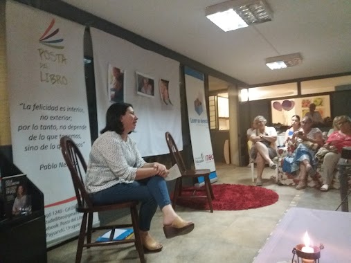
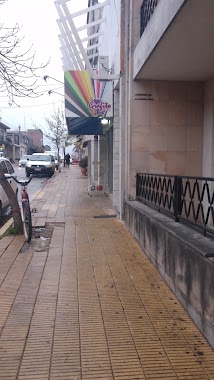
La Posta Del Libro
Ituzaingo, Paysandú
Store
read more
921 m
il dolce
Calle 18 de Julio 1246, Paysandú
Store
read more
928 m
cereoil. terra nova
Paysandú
Store
read more
936 m
Prolesa Paysandu
Republica Argentina 2115, Paysandú
Store
read more
947 m
Carinna Forni Máquinas Comerciales
Ituzaingo 1232, Paysandú
Store
read more
973 m
Casa Campos Paysandú - Celíacos, Gluten Free
Ituzaingo 1202, Paysandú
Store
read more
973 m
DeliPet
Ciudad de Young, Paysandú
Store
read more
987 m
Abitab TERMINAL
1249,, Gral Artigas, Paysandú
Store
read more
1.015 km
Grafito
y, Zorrilla De San Martin, Paysandú
Store
read more
📑
all categories
Accounting
Administrative area level 1
Administrative area level 2
Airport
Amusement park
Aquarium
Art gallery
Atm
Bakery
Bank
Bar
Beauty salon
Bicycle store
Book store
Bowling alley
Bus station
Cafe
Campground
Car dealer
Car rental
Car repair
Car wash
Casino
Cemetery
Church
City hall
Clothing store
Colloquial area
Convenience store
Courthouse
Dentist
Department store
Doctor
Electrician
Electronics store
Embassy
Finance
Fire station
Florist
Food
Funeral home
Furniture store
Gas station
General contractor
Grocery or supermarket
Gym
Hair care
Hardware store
Health
Hindu Temple
Home goods store
Hospital
Insurance agency
Intersection
Jewelry store
Laundry
Lawyer
Library
Liquor store
Local government office
Locality
Locksmith
Lodging
Meal delivery
Meal takeaway
Mosque
Movie rental
Movie theater
Moving company
Museum
Natural feature
Neighborhood
Night club
Painter
Park
Parking
Pet store
Pharmacy
Physiotherapist
Place of worship
Plumber
Point of interest
Police
Political
Post office
Premise
Real estate agency
Restaurant
Roofing contractor
Route
Rv park, camping
School
Shoe store
Shopping mall
Spa
Stadium
Storage
Store
Subpremise
Supermarket
Synagogue
Taxi stand
Train station
Transit station
Travel agency
University
Veterinary care
Zoo
administrative area level 4
sublocality level 1
↑